Dotted lines: #notatrail
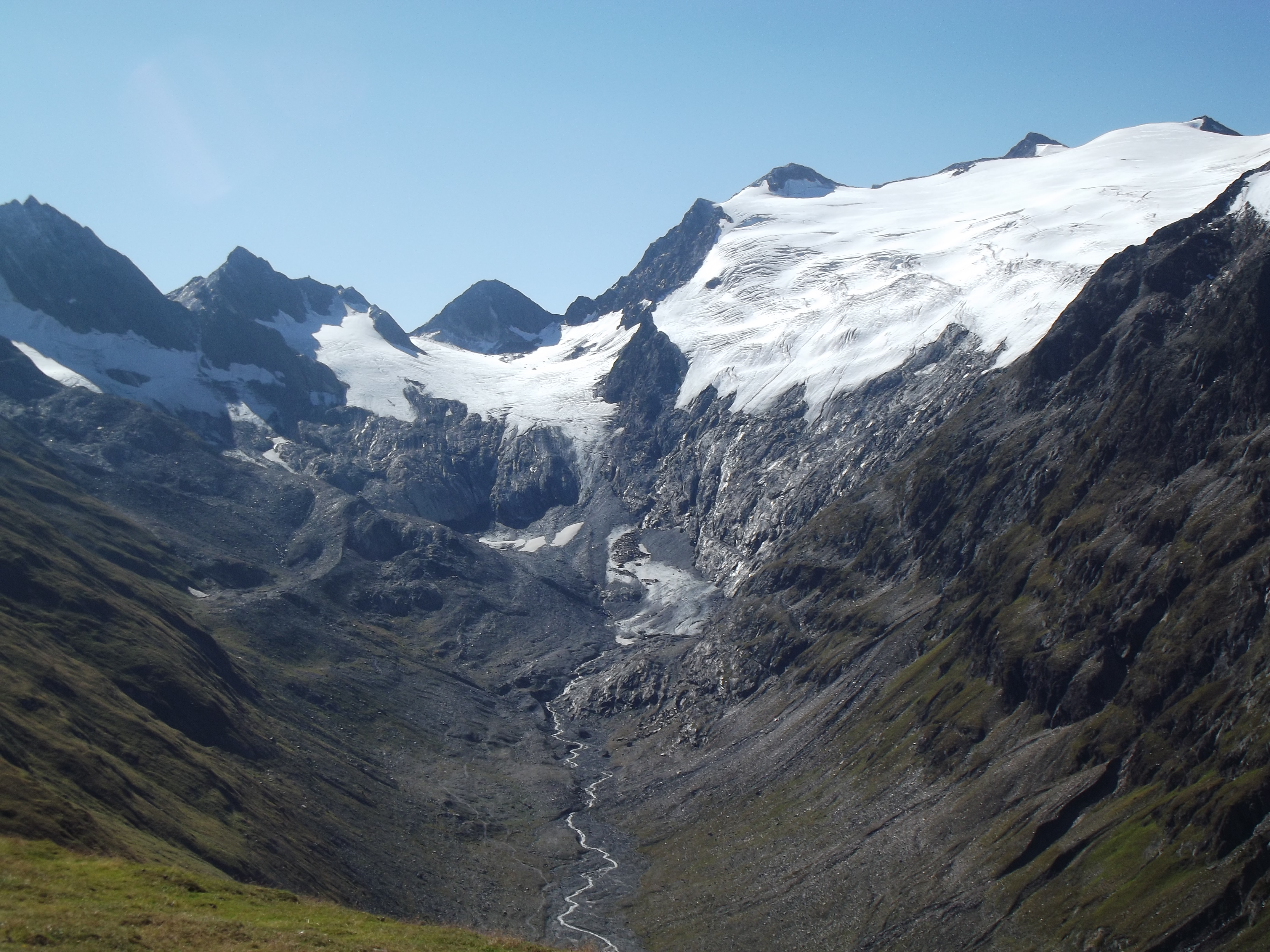
We went through Rotmoosferner (Redmoss Glacier) in late June 2018 and found that climbing from the glacier to the ridge required snowshoes (slope > 70 degrees) due to deep unpacked snow. Visiting the Rotmoosferner trail is recommended to see the amazing rock debris left by the glacier melt.However, continuing the trail to cross over the mountain ridge to Rotmoosjoch (Redmoss Notch) should only be done with proper equipment and in July or August. The snow and rock slides are unstable and the ridge does not appear to have existing rock climbing attachments to clip into, unlike other ridge crossing trails in the Alps. We do not recommend attempting this crossing in June, or without proper equipment.
Here is our GPS trace for this hike:
Here is a video of the hike which allows you to see the angle of assent/decent:
 |
| GPS trace recorded by MyTracks. |
We followed a dotted trail which is shown on some maps to cross the ridge to get to the Zwickauer Hütte. Note: dotted trails are seasonal unmarked mountaineering trails which require rock climbing equipment.
 |
| The trail we followed was a dotted line trail, we found out later that means an unmarked seasonal mountaineering trail which requires rock climbing equipment. |
Locals said it is recommended to try to cross there only in July or August, and only with a Bergfahrer (mountaineer) who can secure the attachments.
It is an unmarked footpath (missing red/white markers on the ground). After the ground turns to snow and shifting rock, the path can be followed using GPS from the Ratmoosferner to the Ratmoosjoch. Once you get up to the ridge you will find the ridge does not appear to have existing rock climbing attachments to clip into at the GPS location of the joch (notch).
We climbed up until we could see the sun behind ridge through the fog. We could also see from Google Maps that we had reached the ridge. One of us went up to the rock face to look for attachments (blue dot in the image below). After what felt like 30 minutes of exploring the rock face, realized we would be unable to make the crossing, so we slid back down.
 |
| At one point, we were able to see the sun was unblocked by further mountains. |
 |
| GPS trace from Google Maps, show section from the Ratmoosferner (Redmoss Glacier) trail to the Ratmoosjoch (Redmoss Notch). |
 |
| After we had slid down the glacier and we were in a stable location, I took a screenshot of where the GPS showed us. I forgot to snapshot it while we were on the incline, which showed we had made it across the Italian border, possibly due to GPS drift. |
 |
| We spent a while at the ridge, the GPS trace shows lots of slipping (speeds of 5km/hour without changes in altitude.) |
 |
| On a sunny day we would have been able to see the notch. |


No comments:
Post a Comment