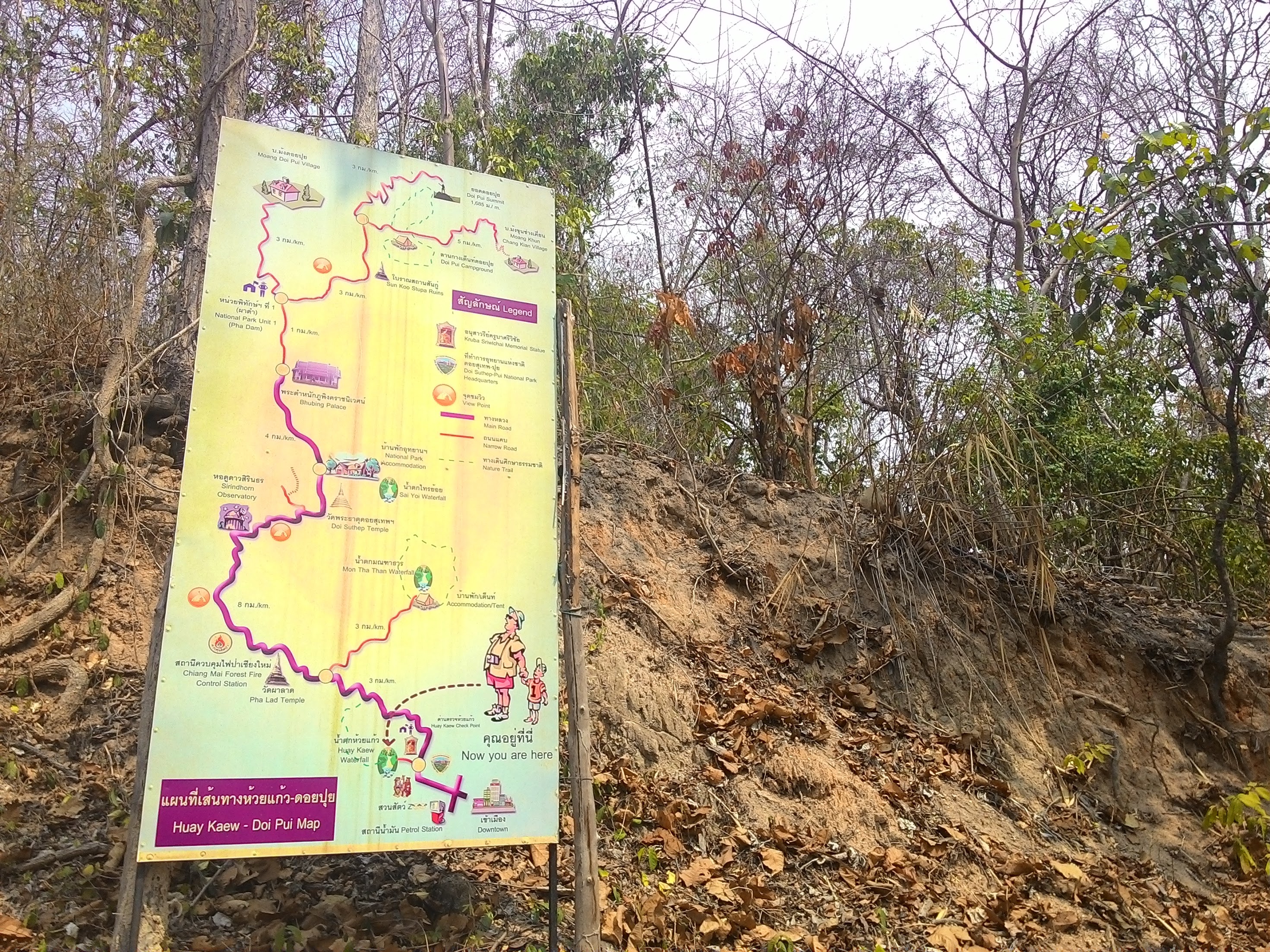
It turns out that there are plenty of trails around Chiang Mai which you can take to get to the summit of any mountain. The only challenge is finding them. We used GPS traces of other foreigners which we found after a fair bit of Googling.
 |
| One of our our recorded GPS trace |
 |
| Trail info along the river. |
The trails we found were mostly used by locals for pilgrimage to shrines, most mountains in that region have a shrine on top, so there is almost always a trail.
 |
| One of the trails was mostly a dried riverbed. |
Hiking in March this year turned out to be a very hot endeavour. March is the dry season, and most of the mountains are control burned so that the land is black and the leaves shrivel and fall off. This makes very little cover from the sun.
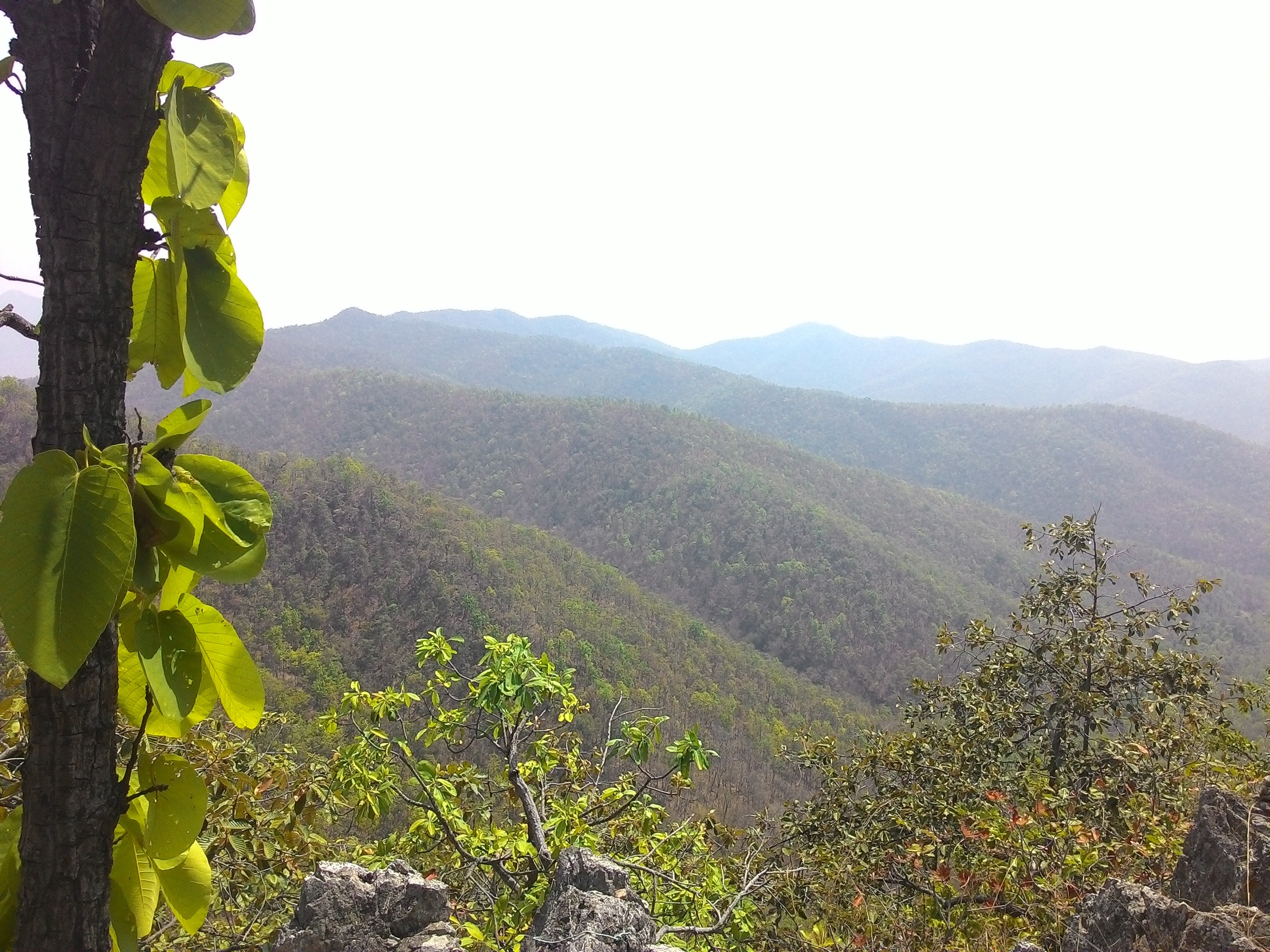 |
| The burning also makes the air have a high pollution index, and you can't see very far in the distance. |


No comments:
Post a Comment